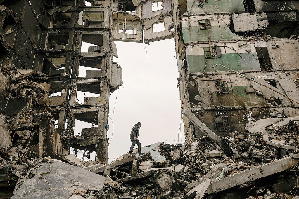
Based on satellite images, the UN Training and Research Institute assessed the extent of destruction in the ongoing war in Ukraine, after Russian shelling and occupation.
According to this analysis:
Hostomel
Based on imagery collected on 31 March 2022, analysts found that 125 cells out of 217 in the City of Hostomel sustained visible damage. This represents approximately 58% of the cells over the city.
Chernihiv
Based on imagery collected on 28 April 2022, analysis show that 974 structures in Chernihiv sustained damage visible in the satellite imagery. Out of these, 258 are destroyed, 362 severely damaged, 252 moderately damaged and 102 possibly damaged. While no complete count of buildings for Chernihiv is available, an open source dataset which is visibly incomplete indicates at least 17,383 structures in the area.
Vorzel
The map illustrates a satellite imagery-based building damage assessment within an area of interest in Vorzel. Based on imagery collected on 31 March 2022, analysis shows that 18 structures sustained damage visible in the satellite imagery.
Borodyanka
Based on imagery collected on 2 May 2022, analysis show that 164 structures sustained damage visible in the satellite imagery. Out of these, 42 are destroyed, 52 severely damaged, 60 moderately damaged and 10 possibly damaged.
Northeast Kharkiv
The map illustrates a satellite imagery based building damage assessment within an area of interest in northeast Kharkiv. Based on imagery collected on 24 April 2022, analysis show that 489 structures sustained damage visible in the satellite imagery. While no complete count of buildings for Kharkiv is available, an open source dataset which is visibly incomplete indicates at least 18,200 structures in the area.
Mariupol
This map illustrates a satellite imagery based damage analysis within an area of interest (AOI) in the residential area of Mariupol City, Ukraine. Based on imagery collected on 7, 8, 12 May 2022 and 14 March 2022, and 21 June 2021, analysts found that 5,647 structures sustained visible damage in the AOI. This represents approximately 32% of the structures.
Horenka
Based on imagery collected on 31 March 2022, analysts found that 51 cells out of 66 cells in Horenka sustained visible damage. This represents approximately 77% of the cells over the area.
Irpin
Based on imagery collected on 31 March 2022, analysts found that 1,060 structures sustained damage visible on the satellite imagery. Out of these, 115 are destroyed, 698 severely damaged, 187 moderately damaged and 60 possibly damaged. This includes 4 education facilities and 3 health facilities.
Bucha
Based on imagery collected on 31 March 2022, analysts found that 82 cells out of 305 cells in the City of Bucha sustained visible damage. This represents approximately 27% of the cells over the city.


